Drones for Ecology
Beyond Boundaries: Unleashing the Potential of Drone Surveys
Drones for Ecology
We are delighted to be able to offer specialist drone services to our clients enabling detailed and accurate data collection and mapping of large areas in a fraction of the time it would take using traditional methods.
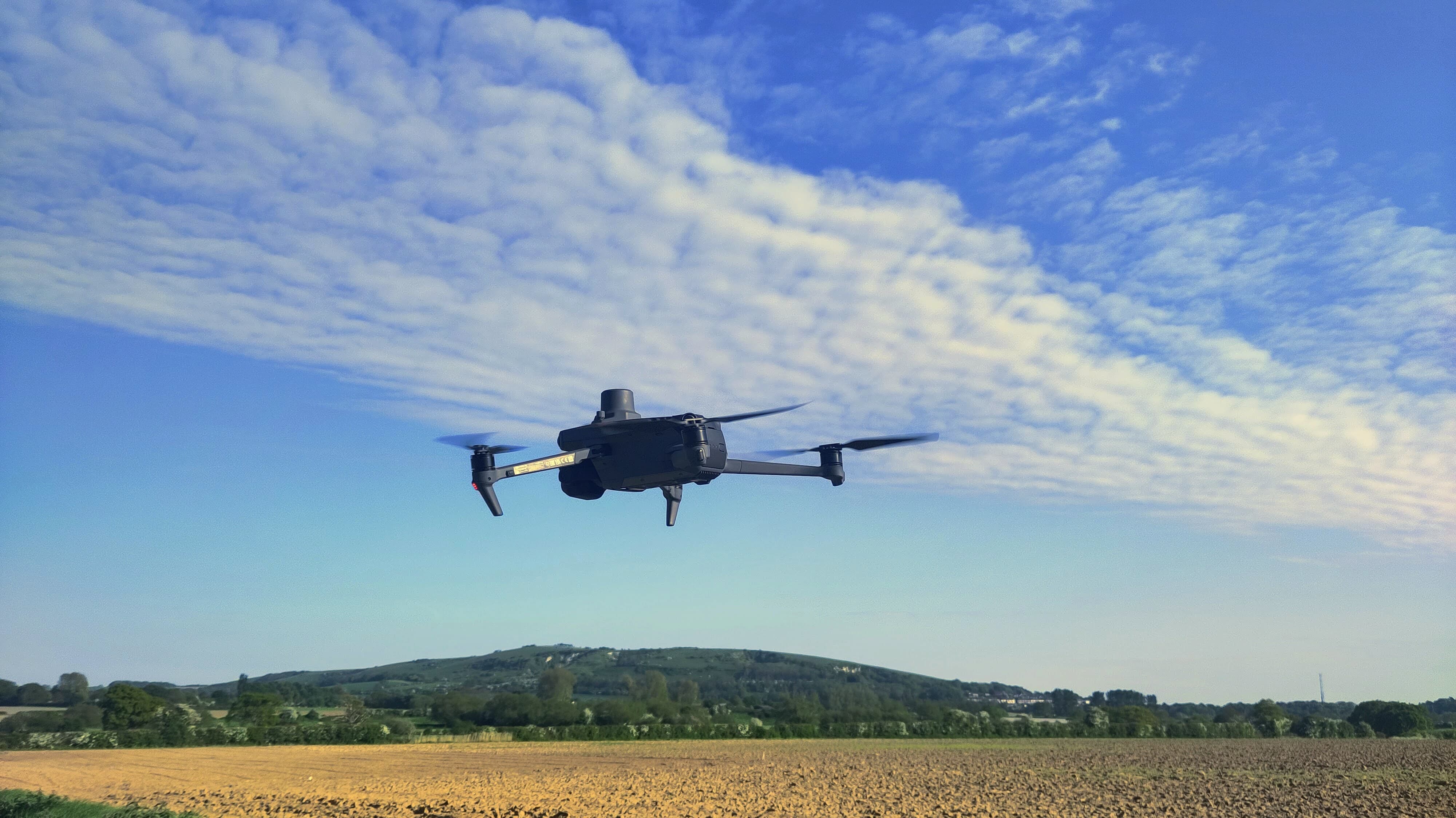
Having completed training provided via our collaborators Drone Pilot Academy, we are a registered operator with the Civil Aviation Authority (CAA) with authorisation for commercial surveys using drones up to 25kg. Our team has spent the 2023/24 survey seasons refining our workflows and using our Mavic 3M drone for habitat mapping over a wide range of sites and conditions and have also completed a yearlong R&D project using drone mounted thermal imaging.
With the use of dedicated drone/GIS software and QGIS for final outputs we have integrated drones into our standard services and have found that the speed and accuracy of data collection can vastly improve efficiency and accuracy, especially when using RTK (real-time kinematic positioning).
Drones are an invaluable tool for inspecting structures and trees that would otherwise require large teams, specialist and expensive rented equipment such as Mobile Elevated Work Platforms (MEWPs), minimising the requirement for undertaking high-risk activities, and where access would otherwise be impossible.
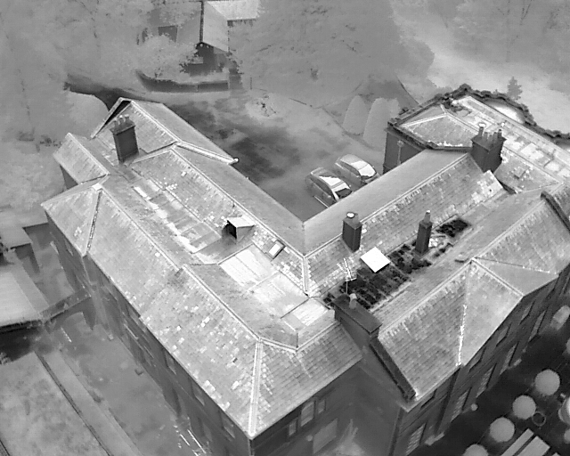
Bats and Aerial Thermal Surveys (BATS) Our groundbreaking new protocol for conducting bat emergence and activity surveys using professional survey grade drones mounted with hi-resolution thermal imaging cameras. After a six month R&D project we have submitted a summary of our results and details of an industry leading approach for surveying bats to the Bat Conservation Trust’s working group on Night Vision Aids. Our aim is for Co-ecology in collaboration with other bat ecologists develop a formal protocol and methodology for Bats and Aerial Thermal Surveys (BATS) initially in relation to roost emergence and thereafter for other survey techniques.
Advantages:
- Ability to monitor the whole of the roof structure, including many features such as valleys and channels that are not visible from the ground;
- Survey sites that cannot be accessed due to health & safety or other constraints;
- Multiple structures can be viewed;
- Multiple elevations can be viewed;
- A reduction in the number of ground surveyors;
- Fewer video files are produced making data storage less burdensome;
- Reduced times in viewing videos post survey;
- Pin pointing of roosts of individual bats in complex roof structures now possible, leading to more targeted mitigation and compensations measures.
We are very pleased to now offer a complete BATS service to clients wishing to take advantage of this technique and are currently the only company in the UK to do so.
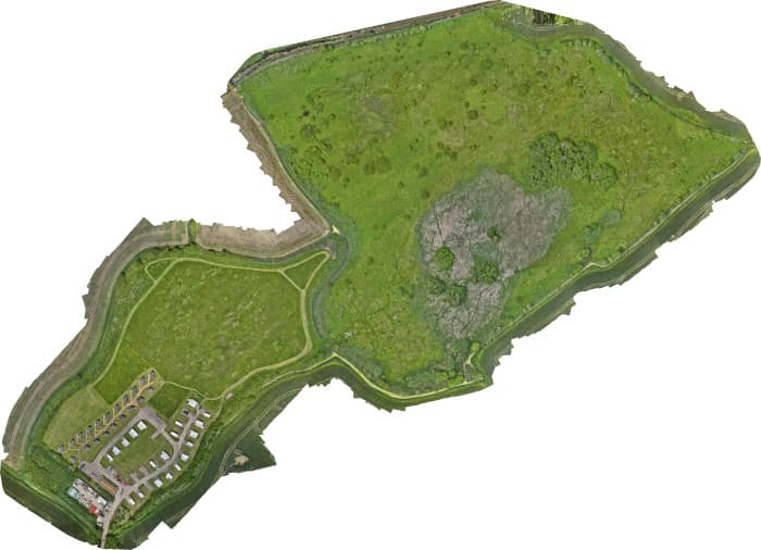
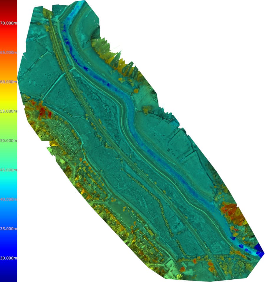
Habitat Mapping To assist you in covering habitat surveys of large areas of land accurately and quickly we can supply a pilot and Mavic 3M drone to fly your land and map the area using either RGB, Multi-spectral imagery or a combination of both. This can be done either with standard GPS or using our RTK module and subscription to a very detail cm real world accuracy. Post processing of images can be done using a professional software package to produce a variety of different maps in either raster or vector format. Outputs to be provided can include tiled Orthomosaic photographs, Digital Terrain Models, Digital Surface Models, 3D models and NDVI. Our drone surveyors are all ecologists who have botanical expertise and can complete species lists and habitat ground truthing on the same visit.
Advantages:
- Highly accurate quantification of habitats for BNG calculations
- Detailed imagery for management purposes
- Terrain models useful for visualisation of construction design and layout
- One stop shop for drone images and botanical surveys
- Large areas of land can be covered in a short time period
- Easily repeatable to allow progress tracking over time for establishment of new and restored habitats
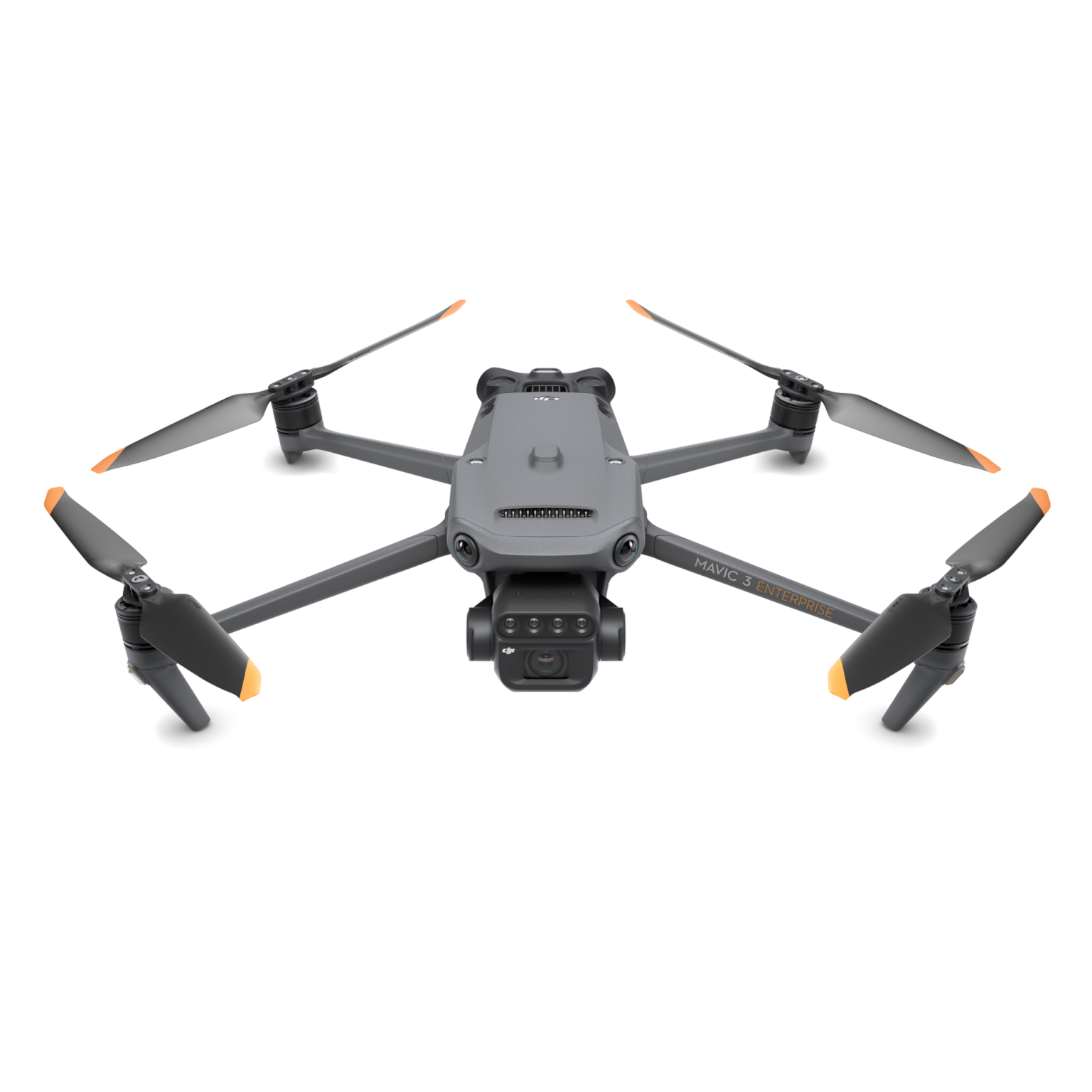
Our Fleet
Our fleet currently comprises of survey grade DJI Mavic Enterprise drones as well as a DJI Mini Pro 4 that is utilised for close inspections of trees and structures and for sites in dense urban environments where use of our heavier drone models is restricted.
Dji Mavic 3 Thermal
Engineered to serve the special needs of aerial operations in firefighting, search and rescue, inspections and night missions, the DJI Mavic 3T has a 48 MP camera with a 1/2” CMOS sensor, as well as a thermal camera with a Display Field of View (DFOV) of 61° and an equivalent focal length of 40mm with 640 × 512 px resolution.
Dji Mavic 3 Multi-spectral
The DJI Mavic 3M is equipped with two advanced cameras: an RGB camera and a multispectral camera: RGB Camera, Sensor: 4/3-inch CMOS, 20 MP, Lens: 24 mm, f/2.8 to f/11, ISO Range: 100-6400. Max Image Size: 5280×3956. Multispectral Camera - Sensor: 1/2.8-inch CMOS, 5 MP
Bands: Green, Red, Red Edge, Near Infrared.
These cameras enable the Mavic 3M to capture high-resolution images and videos, as well as detailed multispectral data for agricultural and environmental monitoring. The combination of these cameras makes it a powerful tool for precision farming, crop health analysis, and more.
Dji Mini Pro 4
A sub 249gr drone that allows us to fly in dense urban situations and to collect images of sturtures and trees in cluttered surroundings and even to survey below bridges and large culverts.